
Written by Thary Gazi Goh
Photo by Goh Shang Ming
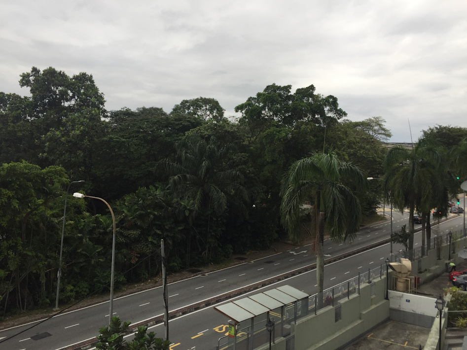
An island of trees standing amid roads and buildings
Imagine biodiversity as water, it can flow from one place to another, it can stagnate and it can seep out.
Some places have more biodiversity, some places have less. When conditions are right and there is a pathway available, the biodiversity can flow from areas of high diversity to areas with lower diversity.
In ecology we usually call the places that can export biodiversity as “sources”, while places that accept biodiversity are called “sinks”. Like a spring of water, if you connect them the biodiversity can flow from a “source” into a “sink” until it fills up as much as it can hold.
When planning biodiversity enrichment in cities, it is important to be able to think about where your sources are. Planting a bunch of isolated trees is not the same as planting trees near a forest patch where wildlife can flow into it.
Also worth thinking about is the barriers that can prevent the flow of biodiversity. Is it a noisy road that crawling animals can’t get past? Or is it a row of buildings that block flying animals? Understanding where your pathways are can be just as important as identifying “sources” and making new “sinks”.
A good example of a “sink” is an area that is large so it can be easily found by randomly moving wildlife and it has to have resources that the wildlife can exploit, so they decide to stay there.
This analogy really helps when planning for wildlife intervention in the city. How we plan for the movement of wildlife can help us to have healthier ecosystems that are in less conflict with the humans around them.
